Fictional island · 1874–75
The Mysterious Island
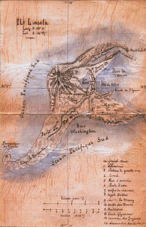
After landfall, five castaways name, survey, settle, and connect the landmarks of Lincoln Island.
The colonists build their principal dwelling into the eastern cliff.
A natural cavern ninety feet above the sea becomes a secure suite of rooms, stores and workshops. Its windows overlook the mouth of the Mercy and the small offshore islet.
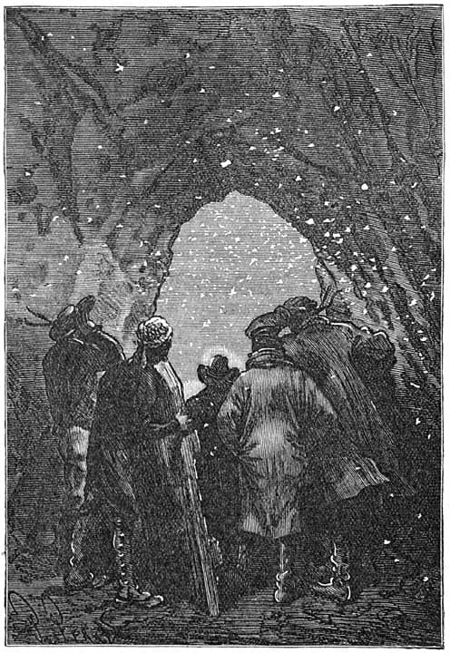 Jules Férat, Hetzel edition
Verne says
Could a balloon fly this far in 1865?
Maintaining that average for ninety-six hours would carry the balloon across a continent and most of the Pacific while it continuously lost lifting gas and ballast.
Fact-check
Four days in a hurricane exceeded every record
A free gas balloon moved with the wind and could only change altitude. Verne’s craft survives hurricane turbulence, rain loading, and gas loss for more than five times the record duration, carrying five people and a dog until it encounters land.
The book in pictures
Original plates and later editions show how each generation pictured the same journey.


.jpg)